
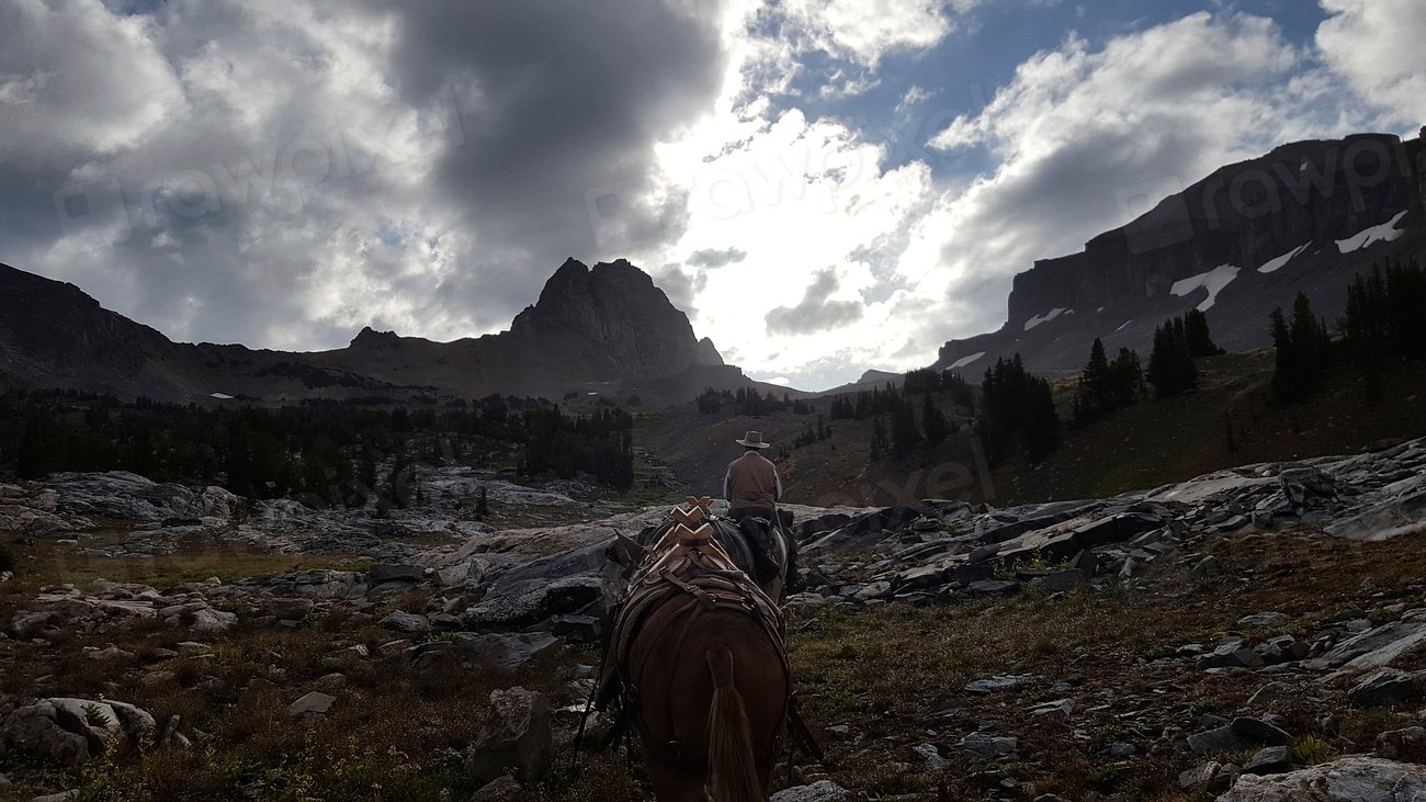
Most of Alaska has no trails. That sentence is easy to read and hard to understand until you are standing on the edge of a valley twelve miles wide with no path, no signs, no cell signal and a river between you and the far ridge. The freedom is total, and so is the responsibility. We learned the backcountry here by walking slowly, making small mistakes and listening to people who had made bigger ones. This is what we would tell a strong hiker from anywhere else before their first trip off the trail in the north.
Table of Contents
Where the trails end
The scale is the first adjustment. Wrangell-St. Elias National Park covers about 13.2 million acres (5.3 million hectares) and has a handful of marked routes. Gates of the Arctic, above the Arctic Circle, has none at all. Denali National Park is about 6 million acres (2.4 million hectares), and outside the entrance area its backcountry is divided into units with a small quota of overnight visitors in each, assigned in person and only a day or two ahead, so that no valley ever feels crowded. Even the state parks that do have trails, such as the Kesugi Ridge route in Denali State Park at roughly 27 to 36 miles (43 to 58 km) depending on the trailheads, put you on open tundra for days with only cairns to follow.
A few long trails exist and make excellent introductions: the Resurrection Pass Trail on the Kenai, about 38 miles (61 km) with public-use cabins along the way; the Crow Pass route from Girdwood to Eagle River, about 21 to 24 miles (34 to 39 km) with a serious ford of the Eagle River in the middle; and the Chilkoot Trail from near Skagway, 33 miles (53 km) into Canada on the route of the Klondike stampeders, which requires a permit and a border crossing. Do one of these first. Then take the map and go where the lines stop.
Reading the ground: tussocks, alder and the mile that takes an hour
Off-trail Alaska is measured in hours, not miles. On dry ridge tundra you can cover 2 miles (3 km) in an hour, and the walking is a pleasure. In the valleys you meet the three obstacles that make grown hikers weep. Tussocks are knee-high clumps of cottongrass standing in wet ground; step on top and they roll your ankle, step between and you are calf-deep in cold water. A mile (1.6 km) an hour through a tussock field is respectable. Alder and willow thickets on the lower slopes are worse: dense, springy, taller than you and full of the tracks of the bears who also prefer the easy line through them. Devil’s club, a spined shrub of the coastal forests, will remind you of its name for a week.
The strategy is to route-find like water and animals do: stay high on dry ridges and gravel bars as long as possible, follow game trails through brush, and descend to a valley floor only where you must. Plan on 8 to 10 miles (13 to 16 km) as a good full day with a pack.
River crossings: the skill that matters most
More backcountry travelers in Alaska are killed by rivers than by bears. Glacial rivers run gray with silt that hides the bottom, and they rise through the day as the sun melts the ice upstream; the same braid that is shin-deep at six in the morning can be thigh-deep and pushing hard by four in the afternoon. The water is a few degrees above freezing, and a fall means a swim you cannot feel your hands during. Camp on the near side, cross at first light, and if the river is too high, wait.
Choose the widest, most braided stretch you can find, where the flow is split into many shallow channels rather than one deep one; walking a mile upstream to find it is time well spent. Unbuckle the hip belt and loosen the shoulder straps so the pack can be shed. Face upstream, plant a trekking pole, and shuffle sideways without crossing your feet. Keep your boots on. In a group, link arms in a line with the strongest person upstream taking the current, or cross in a tight triangle. If the water is above mid-thigh, or moving fast enough that a stone the size of a fist tumbles along the bottom, it is too deep, whatever the map says.
The bear-aware camp
Both black bears and brown bears, called grizzlies inland, live across most of the state, and the backcountry belongs to them. The system that keeps everyone safe is built around food and distance. Camp is a triangle: the tent at one corner, the cooking spot at least 100 yards (90 m) away at another, and the food, toiletries and anything that smells stored at a third. In Denali and many other areas a bear-resistant food container is required and is loaned at the visitor center; elsewhere it is the only sensible choice, since trees tall enough to hang food from are rare above the treeline. Cook simply, eat everything, pack out every scrap and wash away from camp. The sleeping bag and the tent should never smell of dinner.
Walking, the rules are old: make noise in brush and on blind rises, travel in a group, and carry bear spray on a belt or chest strap where it can be drawn in two seconds. If you meet a bear, stop, speak calmly, stand your ground, and back away slowly once it loses interest. Running triggers a chase. A brown bear that charges is almost always bluffing; spray at about 30 feet (10 m) if it does not stop. Moose injure more people in Alaska than bears do, and the rule with them is simply to get a tree between you.
Weather, bugs and navigation
Summer in the Alaskan backcountry is wet. Rain comes for days at a time, temperatures at camp can drop into the 30s Fahrenheit (near freezing) in July, and hypothermia is a July problem as much as a winter one. Wool and synthetic layers, a genuine rain shell and a warm hat are the foundation. Mosquitoes peak from mid-June through July; a head net weighs nothing and is worth everything. August brings fewer bugs, ripe blueberries and the first frosts.
There is no cell coverage. A paper map, a compass and the ability to use both are mandatory, a GPS is welcome, and a satellite messenger that can send a position and call for help is the single piece of gear that has changed backcountry travel most. Leave a written plan with a person, not a website: route, camps, exit point and a date after which they should raise the alarm. For a first trip, choose three or four days rather than ten, a route with an easy exit and no committing crossing on day one, and a daily distance of half what you would walk at home. Then walk into the country that has no trails, and give it the time it asks for.