
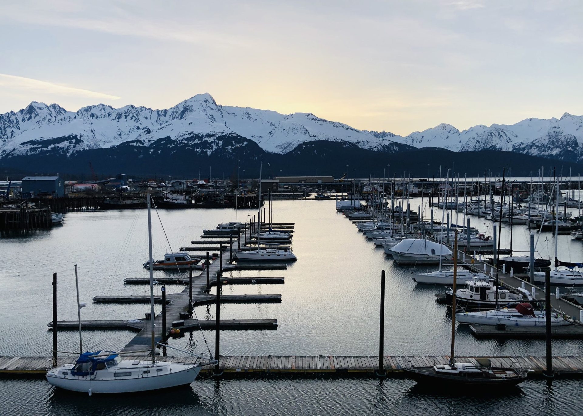
The first thing Alaska teaches us is that the map lies. On paper, the state looks like one big place. On the ground, it is a handful of connected corridors and an enormous quiet everywhere else. Roughly four out of five Alaska communities are not on the road system at all, and the state capital itself, Juneau, cannot be reached by car. Understanding how the pieces link up – the roads, the single railroad, the state ferries and the small planes – is the whole art of planning a trip here.
Table of Contents
The road system: a small web in a very large state
Alaska has about 1,400 miles (2,250 km) of paved primary highway, which sounds like a lot until we lay it over an area more than twice the size of Texas. The paved network is really one triangle and a few spurs. Anchorage sits at the southern corner. From it, the Glenn Highway runs northeast toward Glennallen and Tok, and the Parks Highway runs north for 358 miles (576 km) to Fairbanks, passing the entrance to Denali National Park along the way. The Richardson Highway closes the triangle from Fairbanks south to Valdez on Prince William Sound.
The spurs matter as much as the triangle. The Seward Highway drops south from Anchorage for 127 miles (204 km) along Turnagain Arm to the Kenai Peninsula, where the Sterling Highway continues west to Soldotna and Homer. The Alaska Highway enters from Canada at the Yukon border and ends at Delta Junction, which is how most people driving up from the Lower 48 arrive. Two Southeast towns, Haines and Skagway, have short road links to the Yukon but not to each other or to the rest of Alaska. North of Fairbanks, the Dalton Highway runs 414 miles (666 km) of mostly gravel to Deadhorse near the Arctic Ocean, a serious drive with fuel stops hundreds of miles apart.
Distances are honest and long. Anchorage to Fairbanks takes seven hours without stops. Anchorage to Valdez is about 300 miles (480 km) and six hours. In summer the pavement is generally good, but frost heaves, construction zones and moose on the shoulder are part of every drive, and cell coverage disappears between towns.
The railroad: one line, slowly, with the best seats in the state
Alaska has a single passenger railroad, and it follows the same corridor as the Parks Highway, from Seward on the coast through Anchorage and past Denali to Fairbanks. The full line is about 470 miles (756 km). Anchorage to Fairbanks is a full day, roughly twelve hours, which is nearly twice the driving time. That is the point. The train passes through Hurricane Gulch, crosses a trestle nearly 300 feet (90 m) above the creek, and on clear days gives a long view of Denali that the highway only offers in glimpses.
Service is seasonal for most routes, with daily trains in summer and a much thinner winter schedule. Some sections are flag-stop territory, where residents wave the train down from the trackside. For travelers who do not want to drive, the railroad plus a day or two of local transport in each town is a workable spine for a two-week trip.
The Marine Highway: a state road made of water
The Alaska Marine Highway is exactly what its name says: a public ferry system that the state treats as part of its highway network. Its routes cover roughly 3,500 miles (5,600 km) of coast, from Bellingham in Washington State up the Inside Passage to Skagway, across the Gulf of Alaska to Prince William Sound and the Kenai Peninsula, and out the Aleutian chain as far as Unalaska.
The ferries carry vehicles, foot passengers, kayaks and bicycles. Larger vessels have cabins; many travelers instead pitch a tent on the covered stern deck or unroll a sleeping bag in the solarium, which is permitted and part of the experience. The trip from Bellingham to Juneau takes about two and a half days. Sailings are infrequent, sometimes weekly on smaller routes, so the ferry sets the rhythm of a Southeast trip rather than fitting around it. Vehicle space and cabins sell out months ahead for summer, while walk-on space is easier to find.
Bush planes: how the rest of Alaska moves
Beyond the roads and the water, Alaska runs on small aircraft. Scheduled regional flights link Anchorage and Fairbanks with hub towns such as Bethel, Nome, Kotzebue and Utqiagvik, and from those hubs even smaller planes serve villages on gravel strips. Floatplanes work the lakes and coast; in winter the same aircraft swap floats for skis. Anchorage’s floatplane base on Lake Hood is among the busiest in the world in summer.
For a visitor, a bush flight is either a scheduled seat on a regional carrier or a charter, priced by the plane rather than the person. Weight is real: we are asked for our own body weight and our bags are weighed too. Weather rules everything. Fog, low cloud or wind can hold a flight for hours or days, and a good plan leaves slack at both ends of any flight into the Bush. Flying out to a remote cabin or river is one of the great experiences of the state, but it should never be booked against a tight connection home.
Putting the pieces together
Most first trips combine two or three of these modes. A common shape is to fly into Anchorage, rent a car for the Kenai and the Parks Highway, take the train one way for the scenery, and add a single small-plane day for a glacier landing or a bear-viewing flight. Another is to ride the ferry up the Inside Passage with a bicycle or a kayak, then fly home from Juneau. A few practical rules hold across all of them.
- Book the scarce things first: summer ferry cabins, vehicle deck space, train seats and rental cars sell out long before lodging does.
- Add a buffer day before any flight home; weather delays on ferries and bush planes are normal, not exceptional.
- Fuel up whenever we see a pump on the long highways; the next one may be 100 miles (160 km) away.
- Carry paper maps; digital ones fail as soon as the signal does, which is often.
Why the slowness is the reward
It is tempting to fight Alaska’s distances, to stack towns and hurry between them. Every time we have done that, we have regretted it. The state gives its best moments to people who sit still: the moose that walks out onto the tracks in front of the train, the humpback surfacing beside the ferry at midnight in June, the pilot who banks over a river to show us a bear on a gravel bar. Getting around Alaska is not the gap between experiences. Done well, it is most of them.
1 thought on “Road, Rail, Ferry and Floatplane: How Alaska Actually Fits Together”
Comments are closed.